West Anglian Orienteering Club
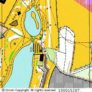
Fairlands Valley map
Near: Stevenage

Description
Terrain Description:
Mainly open parkland.
Map Scale: 1:10000
Map Format: A4
Location
Nearest Town: Stevenage
Postcode: SG2 8UW *
Lat,Lng: 51.89875,-0.17755
Grid Ref: TL255238
Open an interactive map in a new tab using:
* Postcodes are not very precise in some areas, so don't rely on them for an exact location.
Images from the areaclick/tap photos for a larger version
Fairlands Valley