West Anglian Orienteering Club
High Ash map
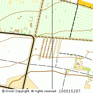
Near: Mundford

Description
Terrain Description:
Mainly coniferous woodland with some areas of beech.
Suitable for events up to Regional.
Map Scale: 1:15000/1:10000
Map Format: A3/4
Location
Nearest Town: Mundford
Postcode: IP26 5BZ *
Lat,Lng: 52.53831,0.6725
Grid Ref: TL813968
Open an interactive map in a new tab using:
* Postcodes are not very precise in some areas, so don't rely on them for an exact location.
Images from the areaclick/tap photos for a larger version
High Ash