West Anglian Orienteering Club
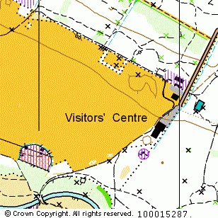
Hinchingbrooke CP map
Near: Huntingdon

Description
Terrain Description:
Parkland with some wooded areas.
Suitable for small events.
Map Scale: 1:7500
Map Format: A4
Location
Nearest Town: Huntingdon
Postcode: PE29 *
Lat,Lng: 52.33131,-0.20703
Grid Ref: TL222719
Open an interactive map in a new tab using:
* Postcodes are not very precise in some areas, so don't rely on them for an exact location.
Images from the areaclick/tap photos for a larger version
Hinchingbrooke