West Anglian Orienteering Club
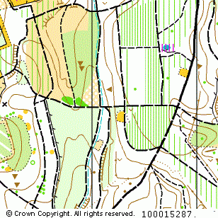
Maulden Woods map
Near: Clophill

Description
Terrain Description:
Varied contoured woodland on the Greensands Ridge.
Suitable for events up to Level C.
Map Scale: 1:10000
Map Format: A4
Location
Nearest Town: Clophill
Postcode: MK45 2AP *
Lat,Lng: 52.04167,-0.43645
Grid Ref: TL074392
Open an interactive map in a new tab using:
* Postcodes are not very precise in some areas, so don't rely on them for an exact location.
Images from the areaclick/tap photos for a larger version
Maulden Woods