West Anglian Orienteering Club
Therfield Heath map
Near: Royston

Description
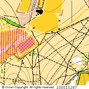
Terrain Description:
Contoured heathland with some wooded areas. Area shared by many sports including golf and archery.
Suitable for smaller scale and local events.
Map Scale: 1:10000
Map Format: A4
Location
Nearest Town: Royston
Postcode: SG8 5BJ *
Lat,Lng: 52.04775,-0.03662
Grid Ref: TL348406
Open an interactive map in a new tab using:
* Postcodes are not very precise in some areas, so don't rely on them for an exact location.
Images from the areaclick/tap photos for a larger version
Therfield Heath